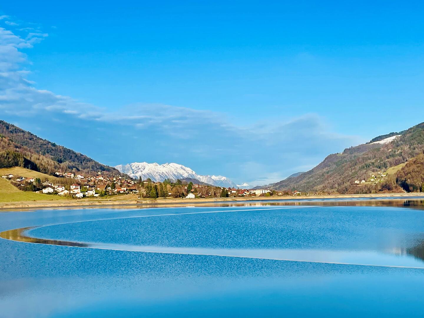
Le tour du Bassin du Flumet
Sport, Pedestrian sports, Hiking itinerary
in Allevard
6.0
km
1h 30min
Very easy
- Departure
- Allevard
-
-
Plain text period
-
All year round.
Subject to favorable weather.
-
-
-
Environment
-
-
-
Spoken languages
-
-
-
-
-
Documentation
- GPX / KML files allow you to export the trail of your hike to your GPS (or other navigation tool)
-
Services
-
-
Accessibility
-
-
-
Services
-